Sebastian Inlet Tide Schedule: Friday, May 29
A 2.8-ft evening high sets up a strong outgoing current through the afternoon — prime time for snook in the pass
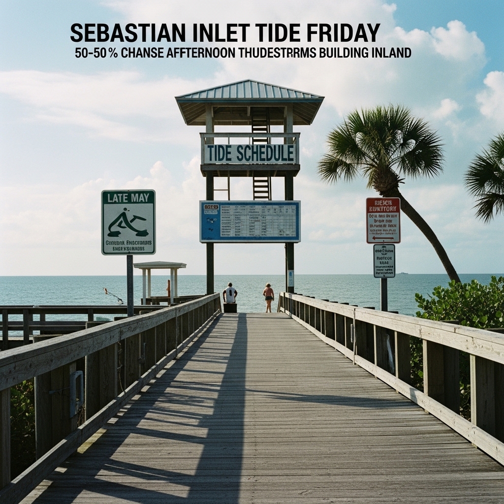
TODAY: Expect typical late-May conditions on the Treasure Coast — warm, humid, with a 50–60% chance of afternoon thunderstorms building inland before pushing to the coast by late afternoon Officials said.
TONIGHT: Warm and muggy with the evening high tide cresting at 8:39 p.m. Low temperatures likely in the mid-70s Officials said.
THIS WEEK: A standard rainy-season pattern is expected to hold through the weekend. Afternoon convective storms remain the primary threat daily. Monitor NWS Melbourne advisories for any organized disturbance activity.
ON THE WATER: Sebastian Inlet sees four tidal cycles Friday, NOAA CO-OPS data shows. The morning high reaches 2.3 feet at 7:57 a.m., followed by a near-zero low of -0.0 feet at 2:12 p.m. — a tidal drop of roughly 2.3 feet over six hours. That steep gradient pushes fast, clean water through the inlet's narrow cut through mid-afternoon, concentrating bait against the north and south jetties. Work a live finger mullet or a white bucktail jig tight to the north jetty rocks during the 1–3 p.m. outgoing window for snook staging in the current seam. The day's strongest tide, a 2.8-foot high, arrives at 8:39 p.m. — flounder and redfish move shallow on that push.
ALERTS: No active NWS watches, warnings, or advisories are in effect for Indian River County at time of publication.
This article was generated with AI assistance using publicly available information. It was reviewed and approved by a human editor before publication. TC Sentinel uses AI writing tools in accordance with FTC guidelines.
Got a tip?
See something newsworthy? Help us cover the Treasure Coast.
Your identity is never published without your permission.
Comments
Be the first to comment.