Heat, Humidity and Daily Storm Chances Define Treasure Coast Memorial Day Weekend Close
Sunday through Tuesday brings classic early-rainy-season pattern — afternoons on the water carry real lightning risk
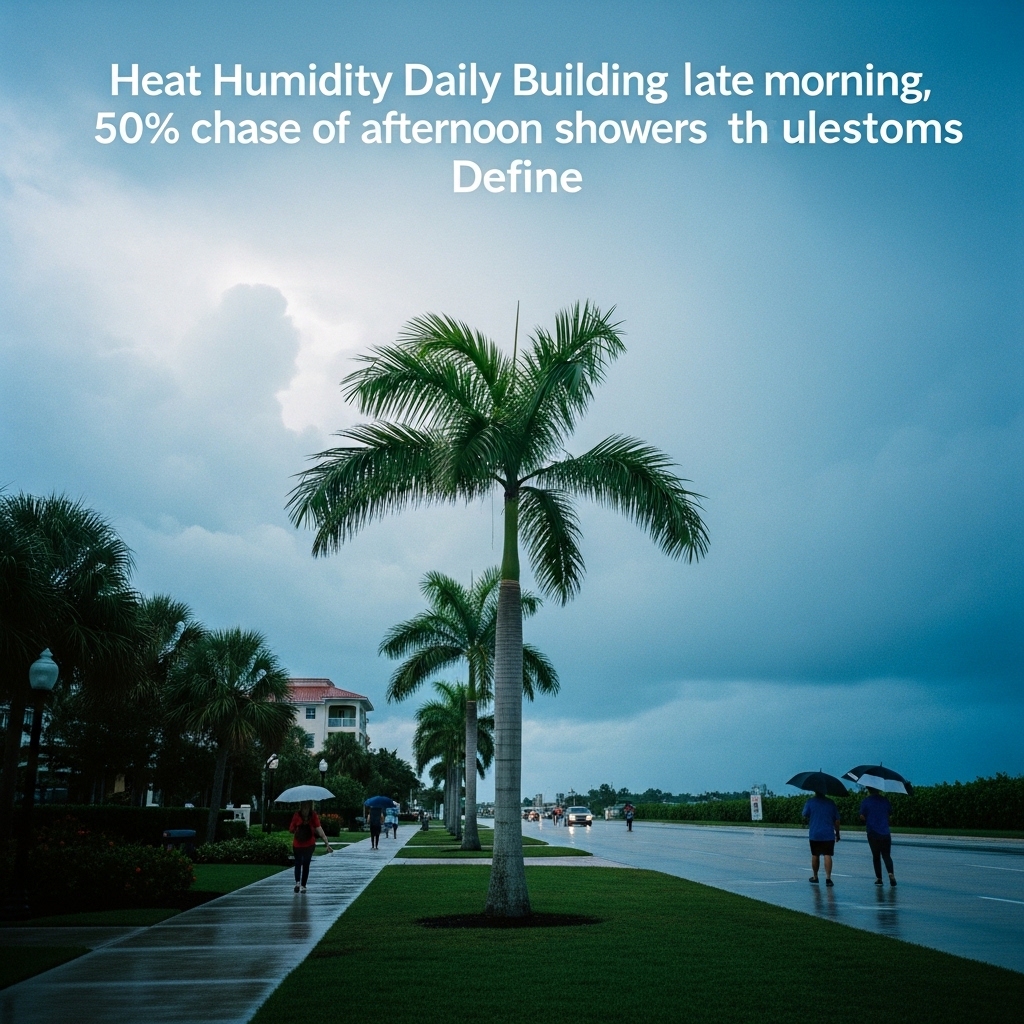
TODAY: Partly cloudy skies give way to building clouds by late morning, with a 50% chance of showers and thunderstorms arriving in the afternoon — the kind of fast-building cells that define the Treasure Coast's early rainy season. High in the upper 80s. Winds turn west around five mph in the morning, then swing southeast at five to 10 mph by late afternoon, the National Weather Service said.
TONIGHT: Partly cloudy with a lingering 30% chance of showers and thunderstorms in the late evening and early morning hours. Low in the mid 70s. South winds around five mph shift southwest after midnight, the National Weather Service said.
THIS WEEK: The pattern intensifies heading into the workweek. Monday brings highs near 90 with a heat index up to 101 — a number that can turn an afternoon job site or a slow drift on the flats into a genuine health risk. Rain chances hold at 50% Monday, then climb sharply Tuesday, when showers and thunderstorms are likely, with a 70% rain chance. Heat index values again reach 101 Tuesday. Anyone planning outdoor work, beach time, or a day on the water should build afternoon exits into their schedule through at least Tuesday.
ON THE WATER: Coastal winds remain light — five to 10 mph southeast today, freshening slightly from the west Monday and northwest Tuesday. Wave heights should stay manageable inshore, but afternoon thunderstorms can build rapidly over the lagoon and nearshore reefs with little warning this time of year. Morning is the clear fishing window. Target the early outgoing tide on the Indian River Lagoon flats before noon; snook and redfish will push baitfish into the shallows ahead of the afternoon cloud buildup. Be back at the dock by one p.m.
ALERTS: No active National Weather Service watches, warnings, or advisories are in effect for Martin, St. Lucie, or Indian River counties at time of publication. Monitor the National Weather Service Melbourne office at weather.gov/mlb for updates as afternoon storm activity develops.
This article was generated with AI assistance using publicly available information. It was reviewed and approved by a human editor before publication. TC Sentinel uses AI writing tools in accordance with FTC guidelines.
Got a tip?
See something newsworthy? Help us cover the Treasure Coast.
Your identity is never published without your permission.

Comments
Be the first to comment.