Sebastian Inlet Tide Schedule for Wednesday, May 20
A sharp afternoon drop sets up a productive fishing window — here's how to use it
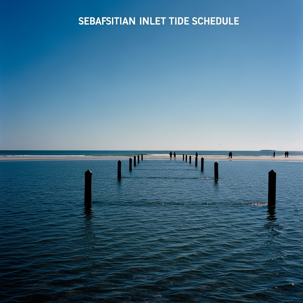
TODAY: Wednesday brings a textbook mixed semidiurnal tide pattern to Sebastian Inlet, with two highs and two lows cycling through the day. Expect partly sunny skies typical of late-season transition, with afternoon rain chances building as the rainy season approaches.
TONIGHT: Calm overnight conditions prevail. The tide crests at its first high — 3.2 feet — at 12:09 a.m., making the pre-dawn hours the inlet's most energized window.
THIS WEEK: Tidal ranges remain moderate heading into the weekend. Watch for increasing afternoon sea breeze and isolated thunderstorm potential as late May humidity builds across Indian River County.
ON THE WATER: Wednesday's tide sequence at Sebastian Inlet runs as follows, per NOAA CO-OPS Station data:
High: 12:09 a.m. — 3.2 ft Low: 6:32 a.m. — 0.1 ft High: 12:21 p.m. — 2.6 ft Low: 6:42 p.m. — -0.3 ft
That evening low — dropping to a sub-zero minus 0.3 feet — is the day's most actionable number. A falling tide through the afternoon into early evening pulls baitfish out of the lagoon and through the inlet's jetties, stacking snook and tarpon along the south jetty rocks as the current accelerates. Work a live finger mullet or scaled sardine on a free-line rig along the jetty face starting around 5 p.m., when the ebb picks up speed heading toward the 6:42 p.m. trough. The morning outgoing tide — dropping from the overnight high to a near-zero 0.1 feet by 6:32 a.m. — offers a nearly identical setup for early risers targeting the same species on the incoming light.
ALERTS: No active National Weather Service watches, warnings or advisories are in effect for Indian River County at time of publication, NOAA records show.
This article was generated with AI assistance using publicly available information. It was reviewed and approved by a human editor before publication. TC Sentinel uses AI writing tools in accordance with FTC guidelines.
Got a tip?
See something newsworthy? Help us cover the Treasure Coast.
Your identity is never published without your permission.

Comments
Be the first to comment.