US Weather Extremes Ripple Toward Treasure Coast
A polar vortex chills the Midwest while a heat dome scorches the Southwest, with forecasters warning amplified jet stream patterns could bring unstable conditions to Martin, St. Lucie and Indian River counties.
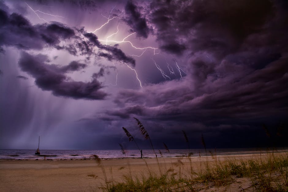
Nearly every corner of the United States is bracing for extreme weather simultaneously — a rare and dramatic convergence driven by a wildly amplified jet stream, forecasters say.
A heat dome will park over the Southwest early next week, pushing Phoenix toward temperatures of 107 F — levels never recorded this early in 137 years of record-keeping, according to the National Weather Service. Meanwhile, the polar vortex will push Arctic air deep into the Midwest and East, dropping Chicago into the single digits and Atlanta potentially into the 20s F.
Two back-to-back storm systems will roll across the Great Lakes, capable of dumping three to four feet of snow between them. The second system is expected to intensify so rapidly it will qualify as a bomb cyclone — an unusual occurrence over land. South of the heaviest snow zone, a significant ice storm is possible in Michigan.
High winds of 60 mph with higher gusts are forecast Sunday night from Kansas through Texas to the Gulf Coast, raising wildfire concerns in drought-stressed areas. Hawaii, meanwhile, is being soaked by an atmospheric river, with flash flood warnings active on Oahu.
For Treasure Coast residents, the national pattern signals unsettled conditions. A jet stream producing near-vertical plunges moves cold air southward faster and farther than normal — a dynamic that can push cold fronts deeper into South Florida than typical for mid-March According to available information,.
"The first day of spring is the 20th, and then after that we get recovery," said Ryan Maue, former NOAA chief scientist.
This article was generated with AI assistance using publicly available information. It was reviewed and approved by a human editor before publication. TC Sentinel uses AI writing tools in accordance with FTC guidelines.
Got a tip?
See something newsworthy? Help us cover the Treasure Coast.
Your identity is never published without your permission.
Comments
Be the first to comment.