Treasure Coast Faces 90% Rain Chance Tuesday With Gusty Winds
Showers and thunderstorms will soak Martin, St. Lucie and Indian River counties through Thursday, featuring northeast winds up to 40 mph overnight.
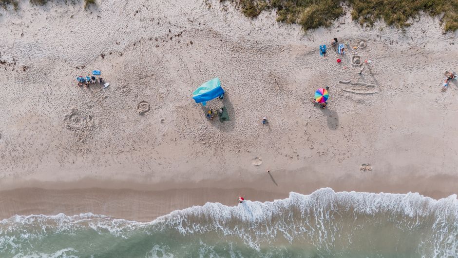
Stand at the Fort Pierce City Marina Tuesday morning and you'll notice the Atlantic already has an answer for your weekend plans: stay inside.
A stubborn wet pattern has locked onto the Treasure Coast, and it isn't moving fast. Here's what to expect.
TODAY: Showers are already possible early Tuesday morning, with thunderstorms a growing likelihood by late morning and into the afternoon. Highs will reach the upper 70s. East winds of five to 10 mph shift northeast at 10 to 15 mph by late afternoon — a telltale sign the system is tightening. Rain chance stands at 90%, the National Weather Service said. For contractors with concrete pours on the schedule, Tuesday is a day to stand down. For anyone asking whether to put the boat in the water, the answer is no.
TONIGHT: Gusty and unsettled. Thunderstorms remain possible into the late evening, with showers likely before midnight. Northeast winds crank to 20 to 25 mph with gusts touching 40 mph, forecasters said. Lows drop to the upper 60s. Captains with vessels in open slips should check dock lines before dark. Rain chance: 70%.
THIS WEEK: Wednesday brings no relief — rain chances hold at 80% through Wednesday night, with northeast winds 15 to 20 mph and gusts to 30 mph. National Weather Service data shows some storms Wednesday could produce heavy rainfall, raising brief flooding concerns for low-lying areas along the St. Lucie and Indian River shorelines. Thursday stays cloudy and breezy, with a 70% rain chance persisting through the day. The forecast window does not extend beyond Thursday.
ON THE WATER: Offshore and nearshore conditions will be rough through the period. Northeast winds building to 20-plus mph tonight and sustained 15 to 20 mph gusts through Thursday make for steep, choppy seas. Fishing captains working the Sebastian Inlet corridor or the Fort Pierce inlet should treat this stretch as a hard no-go. Morning windows — typically the most productive for snook and redfish this time of year — offer no safe reprieve while the northeast flow persists.
ALERTS: No active National Weather Service watches or warnings were in effect at press time. Check the National Weather Service Melbourne for updates before heading offshore or onto open water, as conditions should be monitored closely and the heavy rainfall threat Wednesday could trigger advisories.
This article was generated with AI assistance using publicly available information. It was reviewed and approved by a human editor before publication. TC Sentinel uses AI writing tools in accordance with FTC guidelines.
Got a tip?
See something newsworthy? Help us cover the Treasure Coast.
Your identity is never published without your permission.
Comments
Be the first to comment.