
Senate Bill Would Modernize Flood Maps, Reshape Insurance Costs for TC Homeowners
Legislation referred to committee could update decades-old FEMA flood data affecting Martin, St. Lucie, and Indian River counties
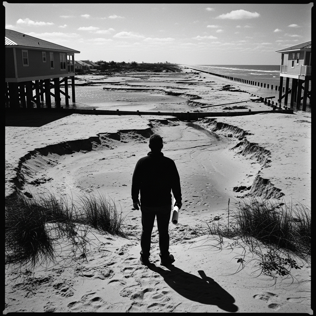
A bill introduced in the U.S. Senate would require the federal government to modernize its flood mapping system and launch a pilot program giving homeowners more tools to challenge their flood zone designations — a change that could directly affect insurance rates for tens of thousands of Treasure Coast residents living in flood-prone communities along the Indian River Lagoon and St. Lucie River corridors.
The Flood Mapping Modernization and Homeowner Empowerment Pilot Program Act of 2026 (S. 4515) was referred May 13 to the Senate Committee on Banking, Housing, and Urban Affairs, according to public records.
For Martin, St. Lucie, and Indian River counties, the stakes are significant. Large swaths of all three counties carry Federal Emergency Management Agency flood zone designations that determine whether homeowners must carry flood insurance and at what cost — determinations that for many residents rest on maps that are years or decades out of date. In St. Lucie County alone, more than 12,000 properties carry Special Flood Hazard Area designations, making flood insurance a mandatory and often expensive line item in household budgets already strained by rising property costs.
Current FEMA maps frequently fail to account for updated rainfall data, sea level rise projections, or localized drainage improvements — a gap that flood mitigation advocates and county planners have cited for years. If enacted, the pilot program described in S. 4515 would give individual homeowners a formal pathway to contest outdated designations using independent elevation certificates and hydrological data, according to public documents.
The bill faces a long road. Referral to the Banking, Housing, and Urban Affairs Committee is the opening procedural step; no markup date or hearing has been scheduled, according to congressional records. No public statement from Rep. Brian Mast (R-Fla.), Sen. Rick Scott (R-Fla.), or Sen. Marco Rubio (R-Fla.) on the legislation was available at press time.
With Atlantic hurricane season beginning June 1, the timing of the bill's introduction puts fresh pressure on Congress to address flood mapping before the next major storm tests the accuracy — and the consequences — of federal flood data on Florida's coast.
This article was generated with AI assistance using publicly available information. It was reviewed and approved by a human editor before publication. TC Sentinel uses AI writing tools in accordance with FTC guidelines.
Got a tip?
See something newsworthy? Help us cover the Treasure Coast.
Your identity is never published without your permission.

Comments
Be the first to comment.