Heat, Humidity and Storm Chances Define Mother's Day Weekend on Treasure Coast
A 30% rain chance Sunday climbs to 70% by Monday — plan outdoor events for the morning hours

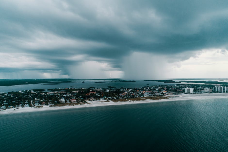
TODAY: Partly cloudy skies and building heat greet Mother's Day on the Treasure Coast, with highs climbing into the lower 90s and a heat index that could touch 102°F by midday. These conditions can turn dangerous quickly for anyone spending extended time outdoors. A slight chance of showers and thunderstorms returns late morning, then again late afternoon toward sunset. Southeast winds at 10 to 15 mph. Rain chance: 30%.
TONIGHT: Considerable cloudiness lingers through the evening. A chance of showers and a slight chance of thunderstorms in the late evening and early morning hours. Lows in the upper 70s. Southeast winds easing to 5 to 10 mph. Rain chance: 30%.
THIS WEEK: Monday marks a sharp escalation in storm activity. Showers are likely late afternoon and toward sunset, with thunderstorms possible throughout the day. Highs around 90°F, heat index again near 102°F. Rain chance rises to 70%. Showers will likely continue into the early hours Monday night. Tuesday holds at 70% rain coverage with highs in the mid-80s and shifting winds turning northwest before clocking northeast by late afternoon — the kind of wind shift that can compress afternoon storms and intensify lightning risk over the lagoon and coastal waters. This three-day wet pattern is consistent with the Treasure Coast's transition toward early rainy-season behavior, typically arriving ahead of the official June 1 start.
ON THE WATER: Southeast winds at 10 to 15 mph Sunday create workable but choppy conditions inshore. Anglers chasing snook along the St. Lucie River or the Indian River Lagoon flats will find the best window before 10 a.m., well ahead of the afternoon storm window. By Monday, with a 70% rain chance, offshore runs should be reconsidered entirely. Building seas and afternoon lightning exposure make the risk difficult to justify.
ALERTS: No active National Weather Service watches, warnings, or advisories are in effect for the Treasure Coast as of this report. Residents should monitor conditions closely through Monday given the escalating storm coverage and elevated heat index values.
This article was generated with AI assistance using publicly available information. It was reviewed and approved by a human editor before publication. TC Sentinel uses AI writing tools in accordance with FTC guidelines.
Stay informed. Subscribe free.
Get the Treasure Coast's daily briefing in your inbox every morning.
Got a Tip?
See something newsworthy? Help us cover the Treasure Coast.
Your identity is never published without your permission.
Reader Comments
Leave a Comment