Heat Breaks Sunday as Storms Roll Through the Treasure Coast
Mid-90s Saturday give way to a wet, blustery Sunday — plan your weekend around the window

TODAY: A mostly sunny morning gives way to partial clouds by afternoon, with highs climbing into the upper 80s. Winds shift from southwest at five to ten mph to southeast at ten to fifteen mph late in the afternoon — a hint of the pattern change building offshore. No rain is expected, the National Weather Service said.
TONIGHT: Partly cloudy and warm with lows around 70. Southwest winds hold at five to ten mph. A comfortable night, but not the calm before the storm — that comes Saturday.
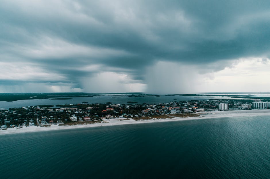
THIS WEEK: Saturday is the last genuinely hot day of the stretch, with highs pushing into the mid-90s — well above the early-May average of roughly 85 degrees for the Treasure Coast. Breezy southwest winds at fifteen to twenty mph by late afternoon. The real story arrives Saturday night: a 50% rain chance after midnight as a frontal boundary pushes south. By Sunday, that system takes over completely. Widespread showers and thunderstorms are likely by late afternoon, with highs dropping sharply into the upper 70s — a nearly 15-degree cooldown from Saturday's peak. North winds at ten to fifteen mph with gusts to twenty-five mph will make conditions rough, forecasters said. Anyone planning an outdoor event, a beach day, or a weekend cruise should build plans around Saturday and get off the water and sand before Sunday arrives.
ON THE WATER: Friday afternoon's wind shift to southeast ten to fifteen mph will kick up chop along the coast and in the inlet mouths — morning remains the cleaner fishing window today. Saturday's southwest breeze freshens to fifteen to twenty mph by evening, making nearshore and inlet fishing workable in the morning but deteriorating fast by afternoon. The Stuart causeway and Fort Pierce Inlet typically see the strongest tidal push under southwest-to-north wind transitions, which could fire up snook and redfish action Friday and early Saturday before the front shuts things down. By Sunday, twenty-five mph gusts will make nearshore and offshore runs inadvisable. Stay in the dock.
ALERTS: No active National Weather Service watches, warnings, or advisories are in effect for Martin, St. Lucie, or Indian River counties as of this report. Monitor National Weather Service Melbourne for updates as the Sunday frontal passage draws closer — conditions could support severe thunderstorm criteria Saturday night, National Weather Service data shows.
This article was generated with AI assistance using publicly available information. It was reviewed and approved by a human editor before publication. TC Sentinel uses AI writing tools in accordance with FTC guidelines.
Stay informed. Subscribe free.
Get the Treasure Coast's daily briefing in your inbox every morning.
Got a Tip?
See something newsworthy? Help us cover the Treasure Coast.
Your identity is never published without your permission.
Reader Comments
Leave a Comment