Treasure Coast Basks in Sunny Skies, Light Winds Through Wednesday
Patchy fog clears for ideal beach and boating conditions with highs in the lower 80s Tuesday and Wednesday before clouds and rain arrive Thursday.

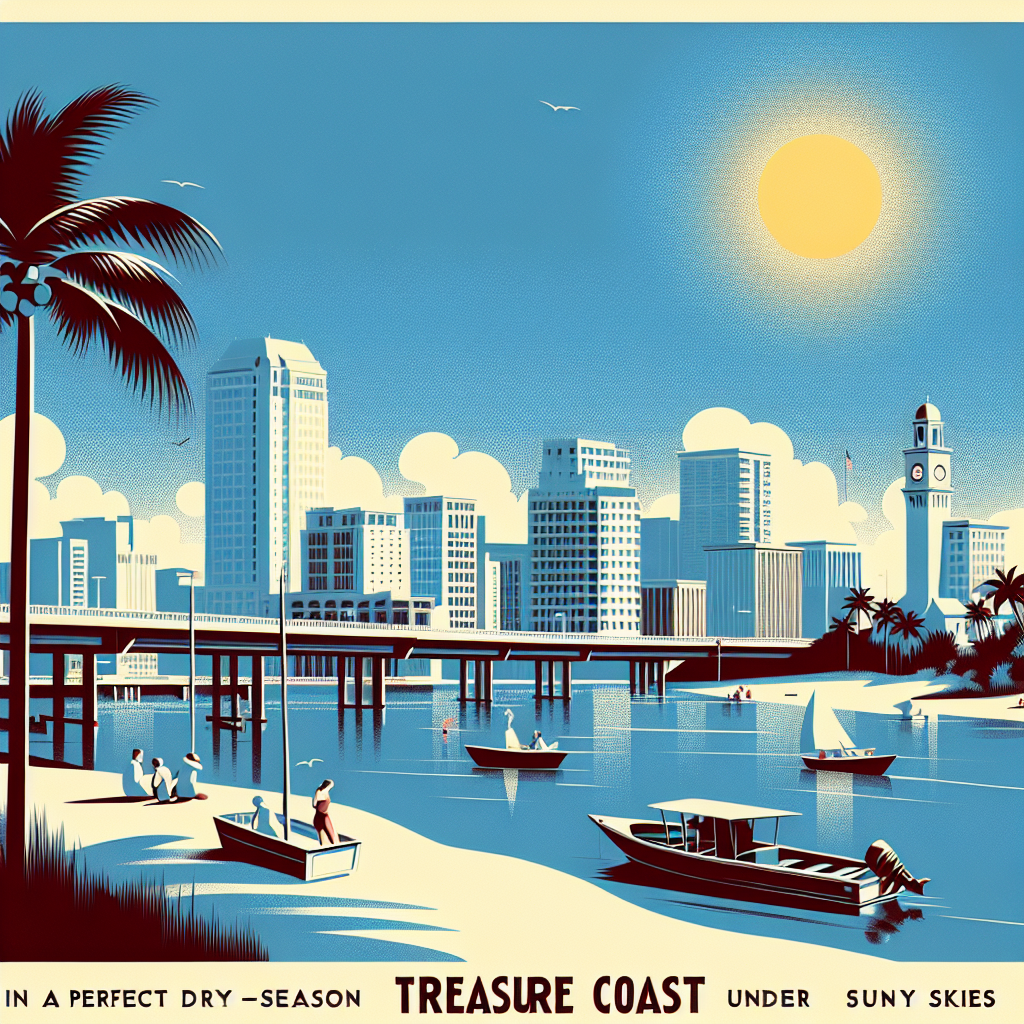
TODAY: Patchy fog burns off early, giving way to mostly clear skies — a near-perfect late dry-season day with highs in the lower 80s and near-zero rain chance. Winds shift from northwest around 5 mph to east 5–10 mph by late morning.
TONIGHT: Partly cloudy with patchy fog returning after midnight. Low in the upper 60s. Southeast winds around 5 mph — light enough for an early Wednesday launch.
THIS WEEK: Wednesday delivers another stellar day with sunny skies, lower 80s, and southeast winds 5–10 mph with gusts to 20 mph. Thursday brings a meaningful pattern change: clouds build through the afternoon with a 50 percent chance of showers and a slight chance of thunderstorms near sunset. Highs climb to the mid 80s with south winds 10–15 mph. No forecast data is available beyond Thursday.
ON THE WATER: Tuesday and Wednesday are standout days on the water. Easterly and southeasterly winds of 5–10 mph keep chop minimal in the coastal zone. Wednesday gusts to 20 mph are worth watching for smaller vessels heading offshore. Best fishing window: morning both days, before the sea breeze fills in. Thursday's building south winds and approaching showers make afternoon trips inadvisable.
ALERTS: No active NWS watches, warnings, or advisories are in effect for the Treasure Coast.
This article was generated with AI assistance using publicly available information. It was reviewed and approved by a human editor before publication. TC Sentinel uses AI writing tools in accordance with FTC guidelines.
Stay informed. Subscribe free.
Get the Treasure Coast's daily briefing in your inbox every morning.
Got a Tip?
See something newsworthy? Help us cover the Treasure Coast.
Your identity is never published without your permission.
Reader Comments
Leave a Comment